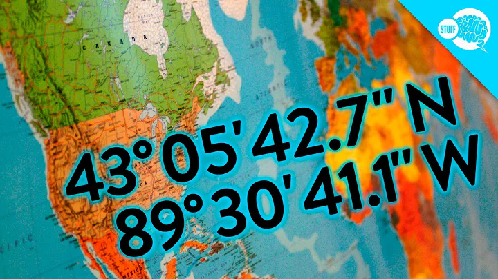
Given the lat/long coordinates, how can we find out the city/country?
Solution 1
The free Google Geocoding API provides this service via a HTTP REST API. Note, the API is usage and rate limited, but you can pay for unlimited access.
Try this link to see an example of the output (this is in json, output is also available in XML)
https://maps.googleapis.com/maps/api/geocode/json?latlng=40.714224,-73.961452&sensor=true
Solution 2
Another option:
- Download the cities database from http://download.geonames.org/export/dump/
- Add each city as a lat/long -> City mapping to a spatial index such as an R-Tree (some DBs also have the functionality)
- Use nearest-neighbour search to find the closest city for any given point
Advantages:
- Does not depend on an external server to be available
- Very fast (easily does thousands of lookups per second)
Disadvantages:
- Not automatically up to date
- Requires extra code if you want to distinguish the case where the nearest city is dozens of miles away
- May give weird results near the poles and the international date line (though there aren't any cities in those places anyway
Solution 3
You need geopy
pip install geopy
and then:
from geopy.geocoders import Nominatim
geolocator = Nominatim()
location = geolocator.reverse("48.8588443, 2.2943506")

print(location.address)
to get more information:
print (location.raw)

{'place_id': '24066644', 'osm_id': '2387784956', 'lat': '41.442115', 'lon': '-8.2939909', 'boundingbox': ['41.442015', '41.442215', '-8.2940909', '-8.2938909'], 'address': {'country': 'Portugal', 'suburb': 'Oliveira do Castelo', 'house_number': '99', 'city_district': 'Oliveira do Castelo', 'country_code': 'pt', 'city': 'Oliveira, São Paio e São Sebastião', 'state': 'Norte', 'state_district': 'Ave', 'pedestrian': 'Rua Doutor Avelino Germano', 'postcode': '4800-443', 'county': 'Guimarães'}, 'osm_type': 'node', 'display_name': '99, Rua Doutor Avelino Germano, Oliveira do Castelo, Oliveira, São Paio e São Sebastião, Guimarães, Braga, Ave, Norte, 4800-443, Portugal', 'licence': 'Data © OpenStreetMap contributors, ODbL 1.0. http://www.openstreetmap.org/copyright'}
Solution 4
An Open Source alternative is Nominatim from Open Street Map. All you have to do is set the variables in an URL and it returns the city/country of that location. Please check the following link for official documentation: Nominatim
Solution 5
I was searching for a similar functionality and I saw the data "http://download.geonames.org/export/dump/" shared on earlier reply (thank you for sharing, it is an excellent source), and implemented a service based on the cities1000.txt data.
You can see it running at
http://scatter-otl.rhcloud.com/location?lat=36&long=-78.9 (broken link)
Just change the latitude and longitude for your locations.
It is deployed on OpenShift (RedHat Platform). First call after a long idle period may take sometime, but usually performance is satisfactory. Feel free to use this service as you like...
Also, you can find the project source at https://github.com/turgos/Location.
Related videos on Youtube
meow
Updated on January 05, 2021Comments
-
meow over 3 years
For example if we have these set of coordinates
"latitude": 48.858844300000001,
"longitude": 2.2943506,
How can we find out the city/country?
-
beatgammit almost 13 yearsYou'll probably need a database of some sort. I'd try playing with the Google Maps API myself... it supports lat/long.
-
 hippietrail almost 12 yearsSee also Get country from latitude longitude
-
-
meow almost 13 yearsaccepting this because this is the one i end up going for :) Michael's answer is certainly a great option tho!
-
James D almost 12 yearsGoogle's reverse geocoding is only allowed in conjunction with a Google Map. If you want a solution that has no such restrictions (though it is commercial and only has US cities), check out: askgeo.com
-
Noel Abrahams almost 12 yearsWill also give weird results for cities within cities, for example certain locations in Rome may return "Vatican City" - depending on the lat/lon specified in the database for each.
-
Tom over 9 yearsmapquest api is another option here as it has no rate limits in some cases and very high rate limits for various geocoding needs.
-
jeudyx almost 9 yearsThey also have a REST api and looks pretty decent: api.geonames.org/…
-
smartmouse over 8 yearsIt doesn't work propertly. If it can't get city it searches for a nearest known city. Here is an example: scatter-otl.rhcloud.com/… It says "Basseterre" instead of "Saint John"...
-
turgos over 8 yearsThat's correct. the algorithm searches the closest city available in the dataset. For above deployed server, I used "cities1000.txt". It has only the major cities. Source code is available at github.com/turgos/Location. You can start your own with more detailed data from "download.geonames.org/export/dump".
-
smartmouse about 8 yearsIt seems cities1000.txt is the more detailed data available. Am i right?
-
 Hack-R almost 8 yearsAn example would've been invaluable
 -
mcont over 7 yearsGeoNames also offers a free web service which is simply awesome!
-
August over 7 yearsif I want only administrative_area_level_ 3 or locality (if administrative_area_level_ 3 not available), which one should I modify? new to php..
-
Petah over 6 yearsfree is debatable, it is only free under certain limits.
-
Matthew Wise almost 6 yearsNote that the Nominatim usage policy operations.osmfoundation.org/policies/nominatim states a maximum rate of one request per second so is only really suitable for ad-hoc queries.
-
 Satys about 5 yearsAre there any limits to this one? This seems to be the quickest approach. Could there be any reason not to use this over @Michael's approach?
 -
user276648 about 5 years@JamesD: the API policies states that if you display the data on a map, then it must be a Google Map, but you don't have to display it on a map (or at all).
-
maxbachmann over 4 yearswell it requires a external service
-
 Fatemeh Asgarinejad over 4 yearsThanks for sharing this but it doesn't work for all coordinates. Do coordinates' number of digits need to be in a specific size?
 -
 Fatemeh Asgarinejad over 4 yearsIt's a great approach, however I just need the counties, so I need to refine the address. I wish there was a way which gave back the counties.
 -
Hamman Samuel over 4 yearsThe only rule for coordinates I know is that the latitude is first, and second is the longitude. Could you provide the value of the coordinates that this doesn't work for?
-
 Fatemeh Asgarinejad over 4 yearsI believe I chose longitude and latitude correctly. I have thousands of coordinates from which a random coordinate didn't work. It's fine now. I used another approach. Thanks for your response.
 -
Hamman Samuel over 4 yearsWelcome. Curious to know what approach worked for you? If it's better than
geocoder, I'd like to try it myself too! -
 Fatemeh Asgarinejad over 4 yearsI used this: from geopy.geocoders import Nominatim geolocator = Nominatim() location = geolocator.reverse("41.4721, -72.6311") print(location.address) It gives the whole address and then I filter the county from it.
 -
Hamman Samuel over 4 yearsThanks, I worked with a large dataset and in 2017, using GeoPy got me many timeouts. Maybe 3 years later they've relaxed their restrictions, so that's great to know!
-
 joedotnot almost 4 yearsIn 2020, GeoNames.org looks pretty much inactive, does anyone know if it's even current ? Problem is nowhere do they mention dates of last update on the site.
 -
Michael Borgwardt almost 4 years@joedotnot: how does it possibly look "inactive" to you? The forum has discussions with comments from yesterday, there is a blog entry from March, and there is a link "recent modifications" right there on the homepage which is full of updates from today.
-
 joedotnot almost 4 years@michael-borgwardt I landed on the home page, no dates anywhere to be seen. Look in the blog the history of posts is June 26, 2013, APRIL 3, 2018, MARCH 8, 2020 (3 articles within 7 years), The forums for discussion can be 'alive' forever, without the actual thing being discussed being active. But if you are telling me it's active, I accept - just wanted to be re-assured by someone who is more familiar.
 -
GuidoG about 3 yearsHow about a small example on how to do this search
-
Sridhar Sarnobat almost 3 yearsDamn, I was hoping this was a CLI program rather than a server.


